Sheldon Falls isn’t even on the familiar green Minnewaska trail map, which is both good and bad. I’ve never heard anyone talk about it or claim it to be a must-see hike, and I very rarely see photos of the area outside a few random ones on Instagram.
But that’s actually what motivated me to go explore this spot — a handful of photos popped up on Instagram a few weeks ago and I went on a mission to find this waterfall.
The good? Few people seem to know about it. The bad? Wow, everyone is seriously missing out and in the dark on what should be one of the top destinations for hikers up here.
Getting there
I’ll take you through my hike down to this great spot, but first let me mention that, according to those I met along the way, there is probably an easier route to these waterfalls via the Peter’s Kill Area parking lot south of the main entrance to Minnewaska State Park. It can be accessed from either, and I plan on trying that hike as well for a different perspective. My route below delivers three waterfalls for the price of one, and the distance isn’t too bad.
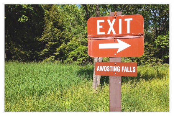
So, for the unfamiliar, Minnewaska State Park is about 15 minutes west of the town of New Paltz, NY off Route 44/55. Parking costs $8 per car unless you have an Empire Passport. Most casual hikers who go up to Minnewaska go to see two things: the lake, and Awosting Falls. Both are easy to get to (the lake requires parking your car and walking for 20 seconds). Awosting is a must-see, but I think Sheldon is just as cool and much more secluded.
I parked at the Awosting Lot and walked back toward the main gate entrance.
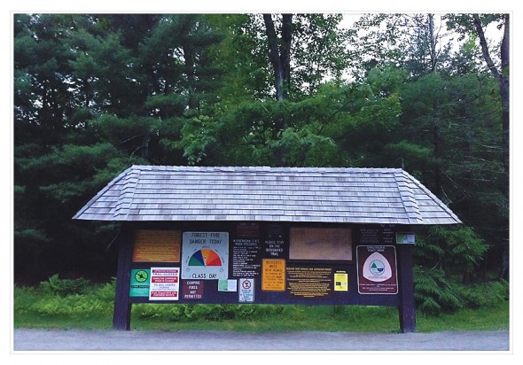
This is the same route to reach Awosting Falls, as you’ll walk by that waterfall on the way. You’ll reach the main road and this familiar trailhead sign, where the forest fire danger is always set to “moderate” even on rainy days:
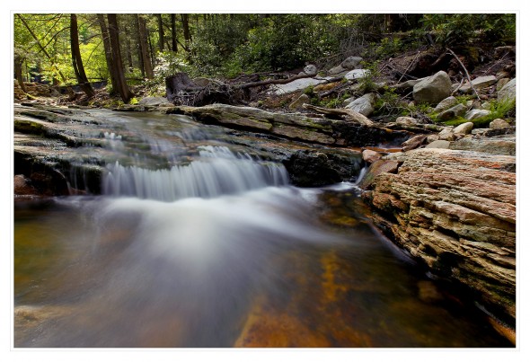
From there, you’ll cross a bridge and turn left down Awosting Falls Carriage Road. This winding, downhill path takes you to the base of Awosting Falls. I continued on and snapped some photos of the Peter’s Kill further downstream:
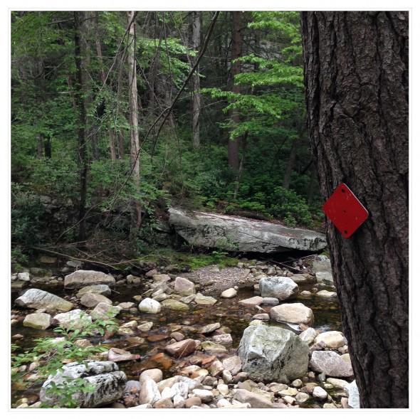
The path, marked by a red trail marker, runs alongside the stream until it splits near Route 44/55. To the right, you can continue back toward Lake Minnewaska (I think).
To the left, a gate stops you from walking into traffic. There’s a small sign there that says hikers should stay on designated trails and to not venture off toward Sheldon Falls. Basically, there’s no park-built trails here and they don’t want anyone getting hurt, but I was told by several park employees that you can simply cross the street and find a path down. Here’s the crossing spot. There are several “no parking” signs on the sides here:
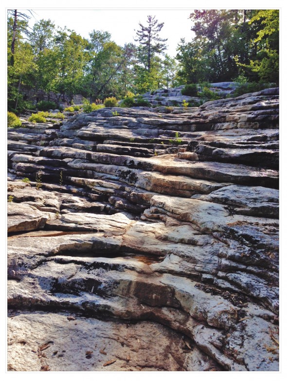
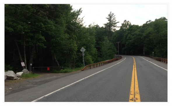 Cross the street and you’ll see a huge expanse of white rock cliffs. There’s a small dam here with a small waterfall on one side — a pretty nice little spot in itself. You’ll want to make your way down these rocks, which are incredibly cool as they look like custom-built stairs:
Literally, it’s like someone carved out stairs from the rocks. I’m not familiar with the whole history of this spot, but I’m guessing it was a gigantic waterfall/cascade for thousands, maybe millions of years, until the water was re-routed by the dam and whoever lived up there. Now, it’s mostly dry and offers some cool views, but you can see evidence of how these rocks were carved out by running water over time: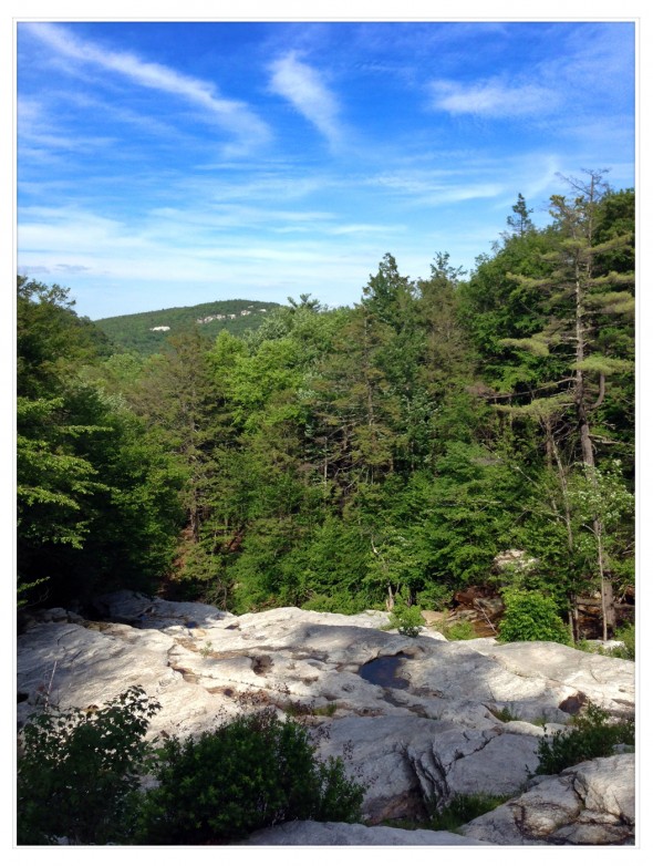
I stayed to my left as water gently streamed down. Of course, I needed to try and get some photos:
Eventually I got to the edge of a cliff and realized I was stuck. I could tell there was a waterfall below me — one I assumed was the waterfall I’d come to find — and I sat down and more or less gave up as I enjoyed the view. A few minutes later, a group of hikers appeared down below. They’d come from the Peter’s Kill area and were nice enough to show me how to get down. Basically, you need to stay to your extreme right, near the side with Route 44/55. It’s extremely slippery in some spots as you walk over wet rocks. Seriously, be careful. You eventually will need to squat and sort of crouch-crawl under a small cave on the right embankment (my large hiking backpack scraped the top of the cave rock as I made my way through). When I say cave, I mean it’s sort of a large pointy rock that juts out and you need to go under it. Water drips down from above. You’ll turn left and carefully make your way back down to the stream-bed and rocks. This is definitely the hardest part of the hike, not slipping — the dirt and rocks here can be loose. Go slow.
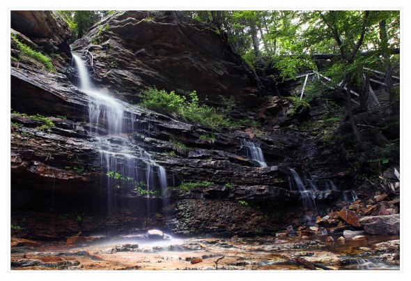
Once you’re down below, boom. You’re in a huge amphitheater-type spot with a waterfall that you can walk right under. Here’s looking at the corner with the falls:
I was up above these rocks to begin with. It may look climbable from below, but there is no way you can get down from above. You wouldn’t survive this fall.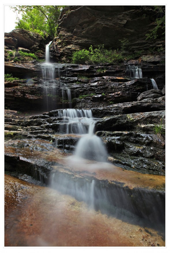
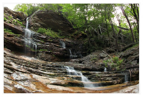
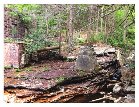
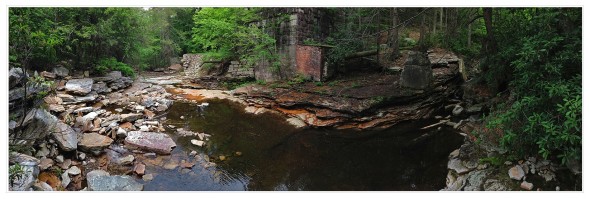
These photos may make the spot look smaller in height than it is. This is also where you’ll first really start to see the ruins of an old, abandoned hydro-electric power station. Take a look on the right side of the photo above and you’ll see parts of a trestle and a large pipe running horizontally. That’s not a fallen tree, it’s a very old water pipe.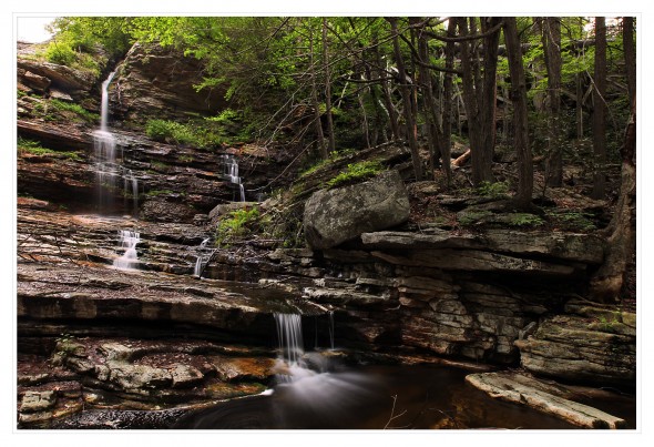 For those who simply enjoy finding abandoned ruins of the past, waterfalls aside, this is a hike for you. The NY State Parks Dept. described this area:
“The remnants of a power house are located at the base of Peter’s Kill Falls, north of Route 44/55. This abandoned hydro-electric power plant, built during the first quarter of the 20th Century, provided electricity for the two Minnewaska hotels for most of that century. Remains of turbine generators may be seen in the building shell.”
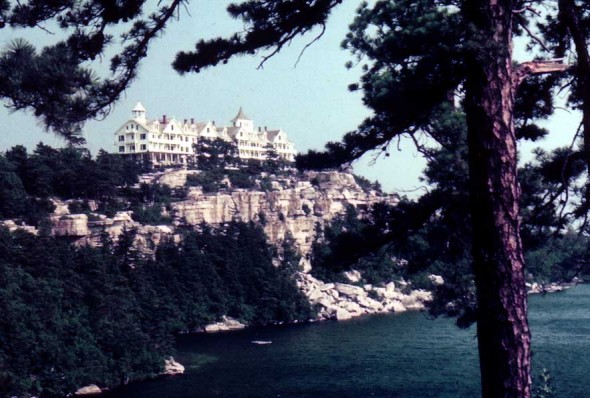
Most power houses are modular buildings nowadays, as they are quicker to build, easier to set up, and they offer much faster lead times. You can see what I mean if you visit https://bmarkostructures.com/modular-electrical-houses/. This power house, on the other hand, was very different. It looked very old in its design. Pretty awesome. The two hotels (Cliff House, seen below) attracted visitors for decades. Both have since burned down, making way (through several legal battles) for the state to purchase the land and turn it into this magnificent park.
Anyway, enjoy the old power plant. You’ll need to walk underneath the trestle and broken water pipe to continue the hike, too.
Once you’ve crossed under the old pipe, you’ll see the old stone building mentioned above:
OK, turn around. Take a look:
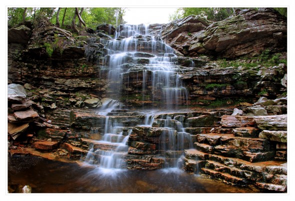
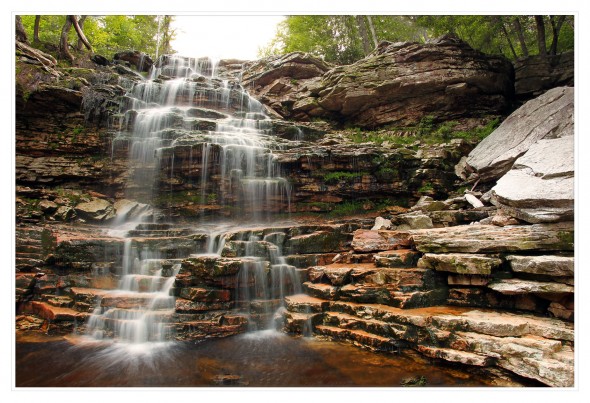
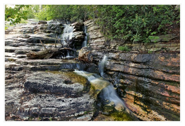
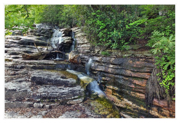
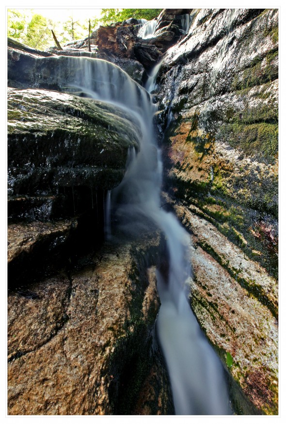
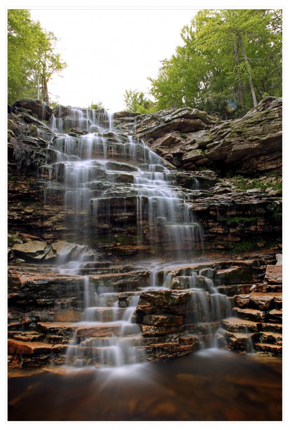 This is Sheldon Falls, an enormous cascading waterfall tucked away in the forest. Large boulders protect it, but with some careful steps, you can walk right to the base of the falls and stand 10 feet away. In fact, I was so close here, I needed my fisheye lens just to capture the entire scene:
 Here’s a short video I made of the various sights along this hike. Some of it is older from last autumn and winter, just to show the variations in seasons. All taken with my Canon 1D Mark IV and 16-35mm f/2.8 L lens:
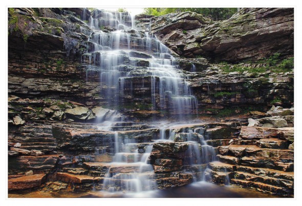
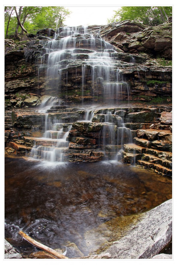 I came home and looked this place up online. Evidently the water flow was pretty low when I saw it, and it still looked great, but take a look at what this waterfall can do with high flow:
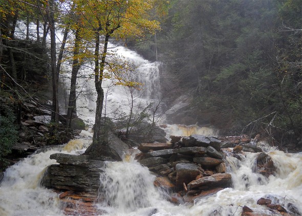
Wow. Crazy. The image above shows all the rocks I was easily able to navigate on my hike to the bottom of the waterfall. Not possible with high water.
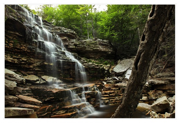
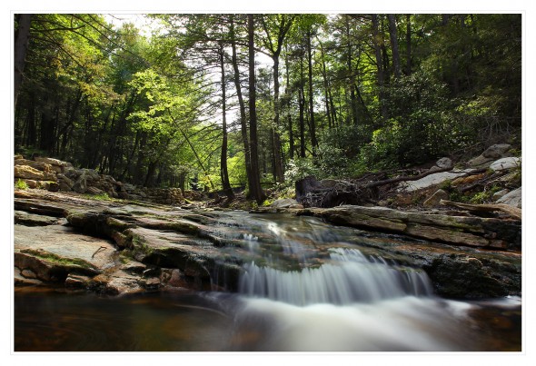
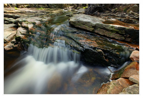
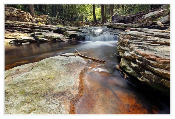
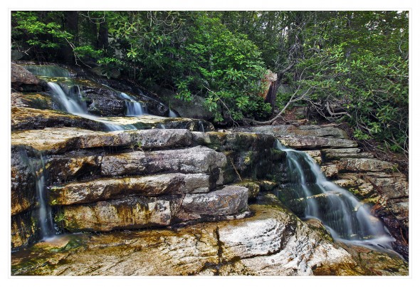
Anyway, you can explore this spot, check out the power station, etc. I moved around and tried to capture the waterfall from a few different angles:
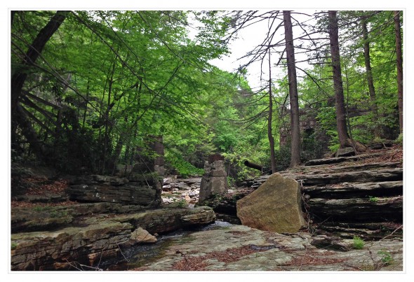
 Below, the stream continues and you’ll find more cascades. This is as far south as I went, though:
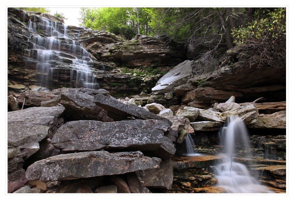
I finally began making my way back out, as I knew I’d have to repeat my steps and go up those slippery staircase rocks.
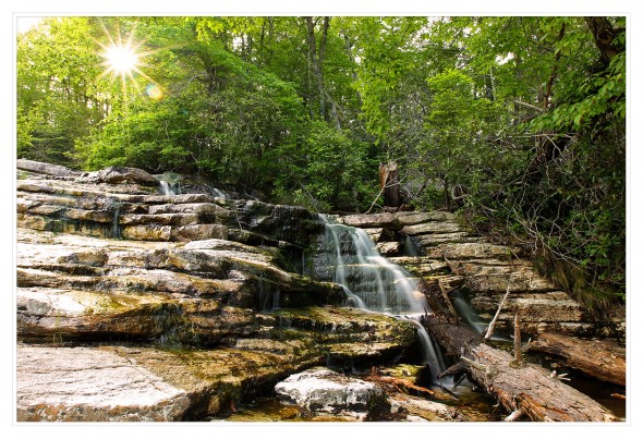
By the time I reached Awosting Falls again, the crowds had cleared out. I took time for a few photos before hiking back up to the parking lot around 8:30 pm.
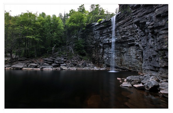
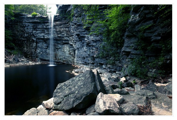 This really wasn’t a long hike, and I certainly took my time doing it. This place is a no-brainer for those seeking a waterfall, just amazing. My photos don’t show it, but this place felt like Jurassic Park or a movie set with the falls and the old wooden power ruins. It’s surprisingly close to Route 44/55 (you can hear the cars buzzing by, for the most part). Just be careful, lots of wet rocks and steep cliffs!

Beautiful pictures and Info very much appreciated.
Look at your photo saying about the behind and then below or similar. Top right of waterfall has beautiful rainbow colored orb..!! I get so many in those areas.
Wants to go today Be Be mad it but s ur no have a New place to see!.
Thanks again
I hiked in from the Peterskill parking lot. I think it was safer than what you did, but did require cross crossing the stream and some bushwacking to reach Sheldon Falls and remnants of an old power plant with graffiti in it. Before that is the lovely Peterskill Falls.
I went there yesterday and found a discernible and not difficult trail to get from Peterskill Falls to Sheldon Falls. Then I thought there must have been a road to the power plant, and I found it. A flat grassy road from the power plant up to the highway. Easy access to Sheldon Falls.
If you are still around, id like to know more about this route, the grassy road you found. thanks.
Beautiful pictures and video but your discovery should have stayed with you..no need to broadcast it out into the world. These places are sacred sanctuaries for the lucky who discover them on their own. Our beloved Gunks are being over run by too many who do not have the same respect and love for these precious sites.
I agree! Some things need to be hidden and are not on AllTrails or other trail maps for a reason. Now when I go here I see beer bottles and other trash.
Back in the early 70s I camped off iOf Traps Road, behind Smitty’s Bar. Never knew the name of the falls or the stream. One of these Falls nay be it??
In the early 70’s, I was a fine art photography graduate student at SUNY New Paltz. I photographed in this location many times. However, I called the falls that was straight ahead when you crossed the dam Sheldon Falls. You are probably correct. I believe your Sheldon Falls was there forever, then they blocked off the stream to create a reservoir for the power plant. Probably during some heavy rain event the side of the pond was breached and the water spilled out the side, creating the waterfall that I called Sheldon Falls. I made a lot of images there, some which were published in B&W magazine in 2008. They can be seen online on SaatchiArt.com. Search for Russ Martin in their search box.
Note: The last ice age ended about 10,000-12,000 years ago. It was the melt water from the glaciers then that created Lake Minnewaska, Lake Mohonk, and others. It is difficult to imagine, but the area at the time would have looked like Greenland or N.Canada. No tress, just rocks and flowing water. The rocks that create Sheldon Falls extend across the escarpment, not just the area you photographed. When the glaciers were melting, it must have been an awesome sight. The waterfall was probably huge since the stream/river would have drained a very large area covered by a mile thick glacier! Look at the Peterskill stream bed. It is almost like a sidewalk. The glacier came down through that area and carved out everything leaving boulders (eratics) scattered around. We live in a much warmer time. Summer temperatures then would have been about 75 degrees. NY was a land of snow and ice.